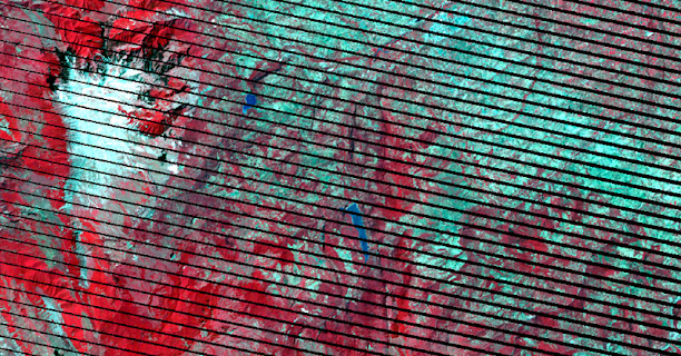
Sentinel 2 Satellite Imagery Free Download
For those who are not familiar with it, I present to you Sentinel 2, one of the many satellite that orbit over us with an interesting mission: monitoring of environmental factors through aerial images. An interesting resource that you can use in your GIS analysis to illustrate territorial zones through full color images and for free.
If you're a bit lost and still don't know much about Sentinel 2, you can start by getting to know all its technical features, download resources, bands, indexes, resolutions and management tools in detail from this link. A general review of everything that surrounds Sentinel 2 will help you understand terminology and the background of its images.
Sentinel 2A is the first of the twins launched into space that is already providing us with free satellite images from anywhere in the world together with its brother Sentinel 2B. This satellite of just over a ton has the mission of capturing images thanks to its 13 bands and a territorial mapping capacity of up to 290 kilometers wide. These characteristics will help you keep track of changes in land use, vegetation, pollution of water bodies and…. the most interesting thing for a cartographer… to provide aerial images for free.
In order to download the Sentinel images, we must access the Copernicus Services Data Hub platform of the European Space Agency (ESA) from where we will visualize a terrestrial viewer on which to select surface strips to download. In order to start downloading and selecting zones, we must be registered on the Sentinel viewer platform, although we can access other Sentinel 1 and Sentinel 3 images.
Once the area of interest has been selected, we must click on the icon in the form of a magnifying glass to access the available territorial information. We will be shown a new section where we can select the information of the sheets that we want to download as well as view their flight date and size. With a satellite of these benefits, it is evident that we cannot expect the files to weigh less than 5 gigabytes, so we will have to be patient with the download and its handling in our GIS.
You will be able to identify the territorial sheets that Sentinel maps through the mesh provided by the European Space Agency with a simple KML file that we can load from Google Earth.
You will also be able to access the images of Sentinel 1 , Sentinel 3 and Sentinel 5P thanks to the replica of two analog viewers. To do this you must access from the following platforms and users:
- Sentinel 1,
2 and 3 images : you can register by creating
a profile with your username and password
- Sentinel 5P images : User, password User
Now all you have to do is start enjoying this free cartography and start performing your analyzes in qGIS, ArcGIS or gvSIG. Even if you want to preview the images before starting the download, you can use the Sentinel Playground viewer with which you can see the total composition of mosaics and perform predefined analyzes online using bands.


Comments
Post a Comment